-
Castle and Basilica/Sanctuary of the Holy Cross
-
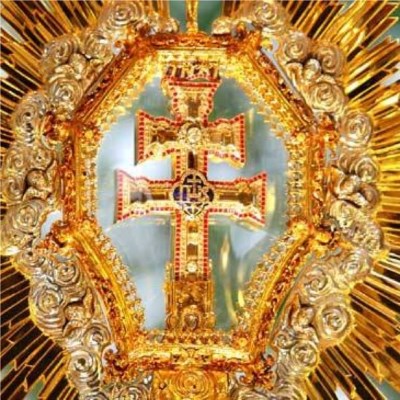
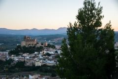
They rise on the top of a high hill from which surpass the whole city. We can differentiate two main areas which complements each other to form the most visited monument of the city, since in it we can find the patroness of Caravaca: the Holy and True Cross. On the one hand, we can see the wallet enclosure of Islamic origins that withholds important testimonies of the medieval times of Caravaca and within said enclosure we find the Basilica and Sanctuary of the Holy Cross, work of the XVII century, with an impressive baroque front of the XVIII century, which can be included in the international Baroque.
 The walled area, with remains of the XII century and structure of the XV century, has undergone many changes through the centuries and today it has 14 towers of different shapes and sizes, being the most ancient and traditionally Arabic built the so-called Torre Chacona, considered in the XV century the tribute tower of the fortress. The fort belonged to the Order of the Temple and later to the Order of Santiago, being used as a military fortress in different historical periods.
The Islamic tradition, gathered inside these walls, merges with the Christian tradition because the Basilica/Sanctuary of the Holy Cross was built inside in the XVII century, being the city history characterised by both traditions.
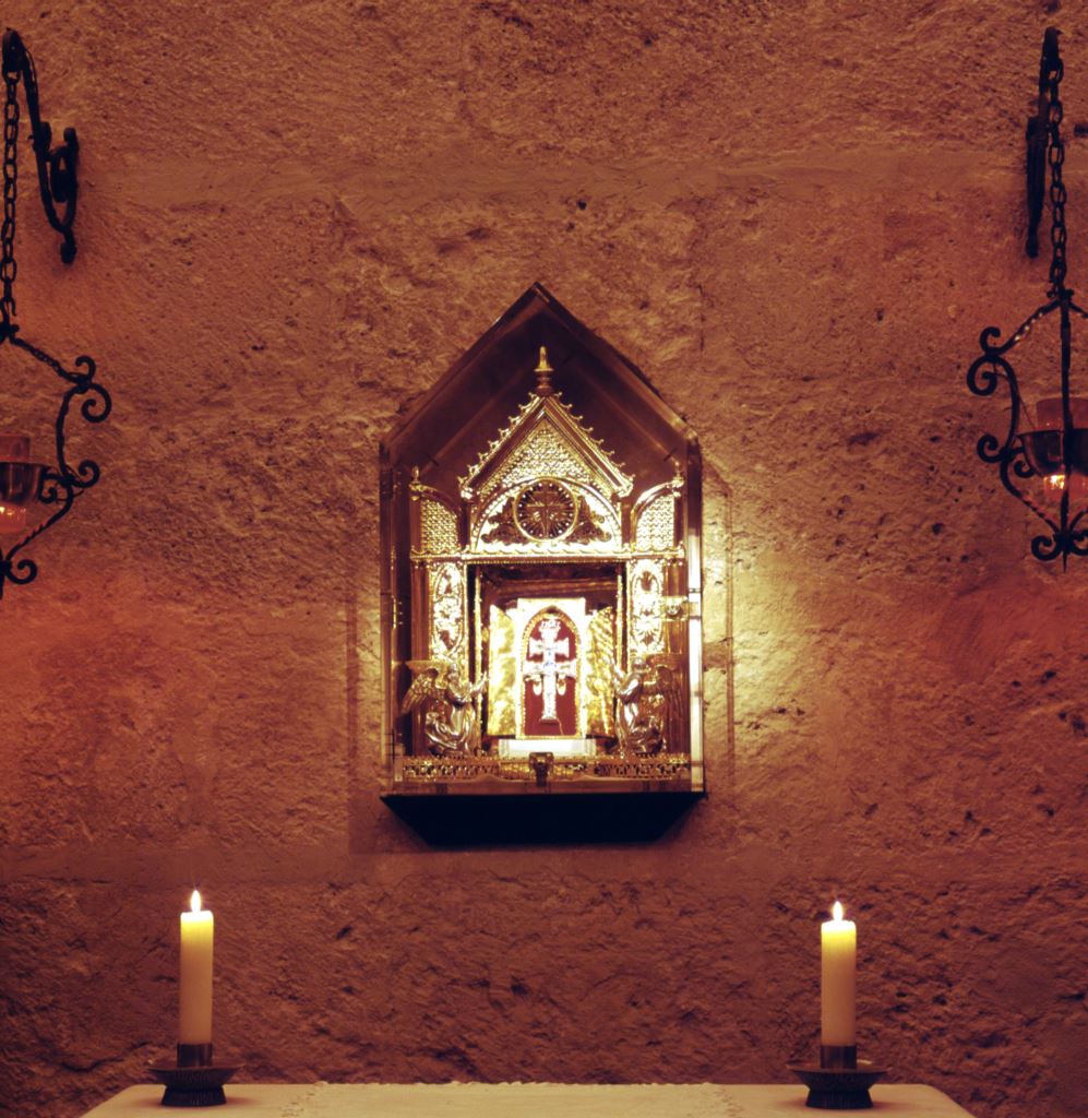
The temple, started in 1617 with the drawing of Carmelite Brother Alberto de la Madre de Dios, architect that worked mainly for the Duque of Lerma, and finished in 1703, date in which was opened with the moving of the Holy Sacrament. However, the building was fully finished in the late XVIII century, once given the finish touch of the red and black marble front. This building has three naves, with a transept not outstanding, tribune and a dome over the transept. Other rooms of the Basilica/Sanctuary are Capilla de la Cruz (the Chapel of the Cross), in which the Patroness of the city is kept and can be visited every day, Capilla de la Aparición (the Chapel of the Apparition), Capilla de los Conjuros (the Chapel of the Spells), Mirador de la Reina (the Viewpoint of the Queen), Torre Chacona (Chacona Tower) and Muslim Aljibe (cistern).
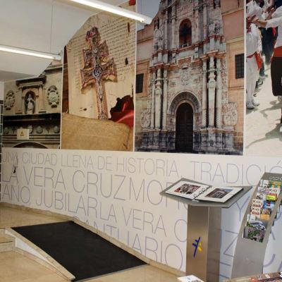
The museum of the Vera Cruz is located in this enclosure.
The aforementioned joint was declared National Asset of Cultural Interest in 1944.
Geographical coordinates: Latitude 38.1076989 Length -1.8584707
-
Parish Church of El Salvador
-
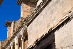
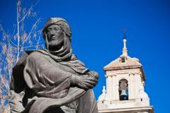
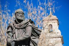
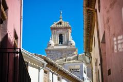
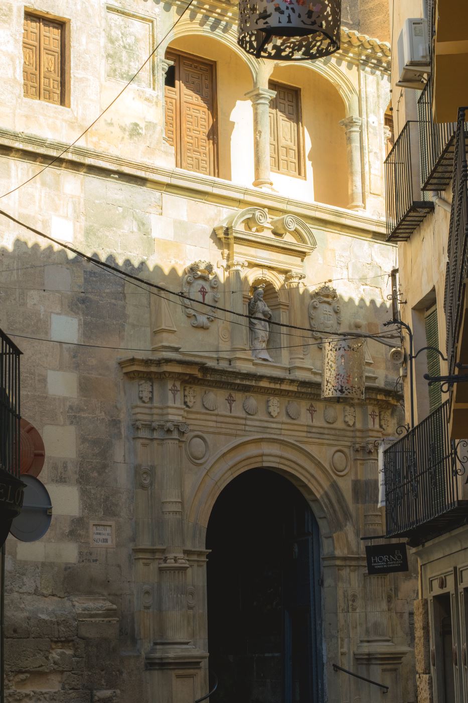 In 1534, the plans of the Church El Salvador were signed and the works started two years later. In 1600, the works ended precipitously, leaving the building unfinished as it remains nowadays. The tower was completed in the middle of the XVIII century.
In 1571 the temple was officially opened after the Holy Sacrament was moved from the Church La Soledad, the most ancient parish of Caravaca de la Cruz.
This church represents one of the most beautiful and interesting samples of the Renaissance architecture of Murcia, being a fundamental part of Caravaca’s monumental complex. It consists of a hall floor plan with four lonian-style ribbed columns (almost two metres diameter each), supporting at a great height the gothic cross-ribbed domes. It has seven lateral chapels in the lateral naves, three in the Epistola nave and four in the Evangelio nave, that form outwardly the first building section and it was paid by several of the local noble families. The temple possesses two sacristies that flank the main chapel. On the left, there is the old sacristy with a beautiful umbrella dome, on the right, the current sacristy.
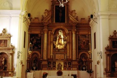
In the main chapel is the high altar reredos by Jose Saez, from the dissolved church of the Jesuits.
Among the builders we can mention Pedro and Martin de Homa, Pedro de Antequera, Pedro and Andres Monte, Damian Pla and Miguel de Madariaga.
More worth seeing works that we can find in the church are: the sculptures of La Dolorosa by the Salzillo school, El Cristo del Prendimiento and San Pascual Bailon by Marcos Laborda disciple of Salzillo and La Piedad by Roque Lopez, in addition to the Neapolitan statues of San Jeronimo and Santa Isabel. The outstanding grilles, which confine some of the lateral chapels, were made by Gines Garcia in the early XVII century.
The Parish Church El Salvador was declared a National Cultural Interest Asset in 1983.
Geographical coordinates: Latitude 38.108389 Length -1.860806
-
Templete
-
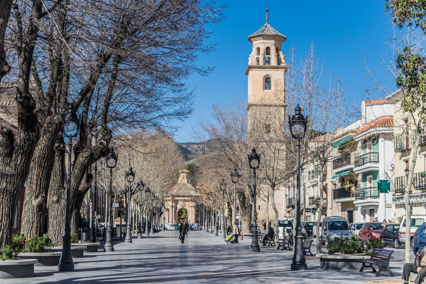
The ritual of Baño de la Vera Cruz (commonly known as “dip of the Cross”) in water, is without a question the oldest rite of this holy relic. Its origin can be traced back to the XIV century, most probably to 1384 according to Robles Corbalan and it is the birth of the Festivities in Honor of the True Cross.
Firstly, the ceremony of Baño de la Cruz has always being celebrated in the same place because it is where the most important irrigation flows come together in Caravaca. There was not any monument or similar construction in this place where the Cross was dipped, just a water ditch where the flows came together. However, in the XVI century, an humilladero -monument generally with a cross, in this case made of stone, located at the entrance of some cities- was in this area, which was established as bañadero of the Relic.
In the XVII century, given the religious importance reached by the celebration of Baño de la Cruz, the city council and the Brotherhood of the Cross started to think about remodeling and preserving the Humilladero and a chapel with wooden gable roof held by two pillars, which sheltered the Cross of the Humilladero.
In 1761, given the deterioration of the existing chapel, a quotation is sent to the Duque of Parma requesting economic help for the construction of a new Capilla del Baño. As the building was dilapidated, the city council did not wait for a reply and ordered the drawing of the new building to the Murcian architect Jose Lopez. The drawings were presented and approved by the city council on the 2nd of June of the following year, moving the architect to the city for the works beginning.
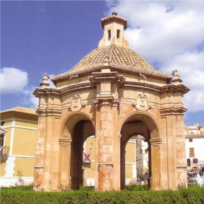
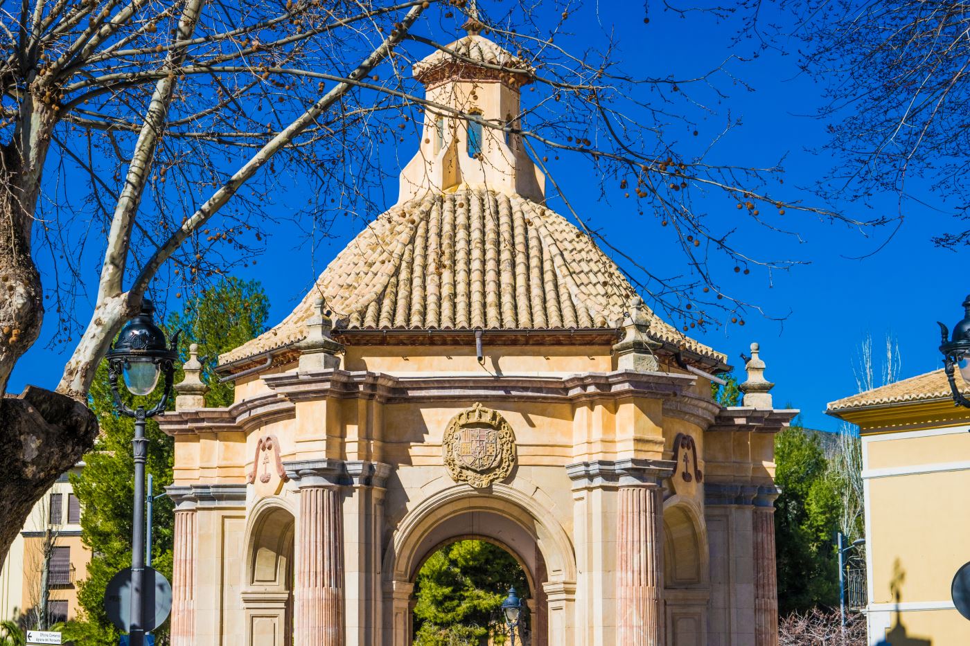
The artist conceived a building of centric floor in which inscribes a hexagonal plant floor whose angles are Doric columns, leaned against frames that hold the entablature.
Four sections are clearly distinguishable: the podium, in which the building is set and where the pillars stand; the main body which encloses the area and shapes the monument; the dome over the closed drum roof of Arab slates and, finally, the lantern with six openings that tries to make the building more aesthetically pleasant. It is a Baroque building, almost neoclassical, and every May 3rd the rite of Baño de la Cruz keeps being celebrated, that is reason why this building is also called Bañadero.
Geographical coordinates: Latitude 38.104972 Length -1.865194
-
Parish Church of Purisima Concepcion
-
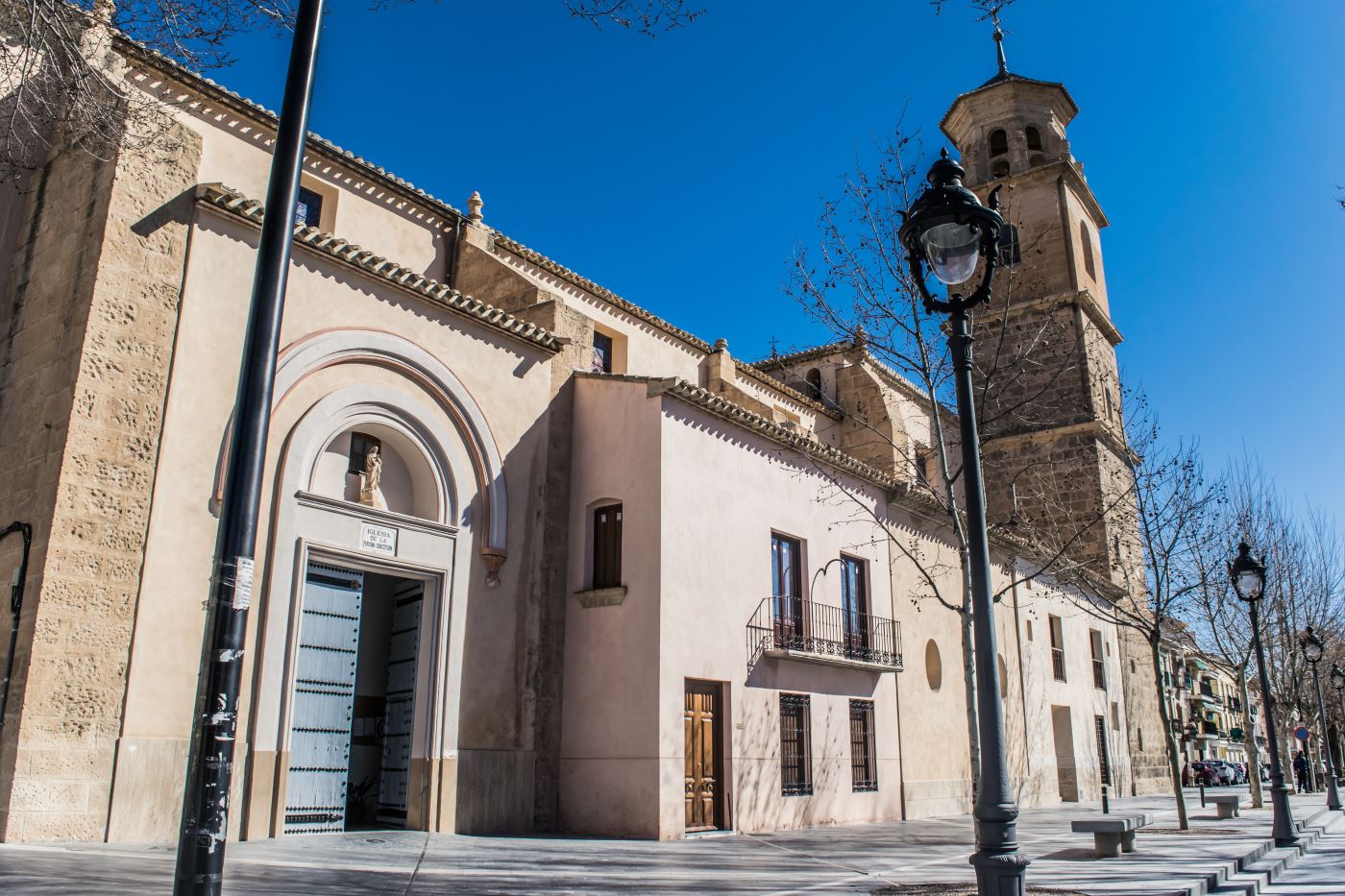
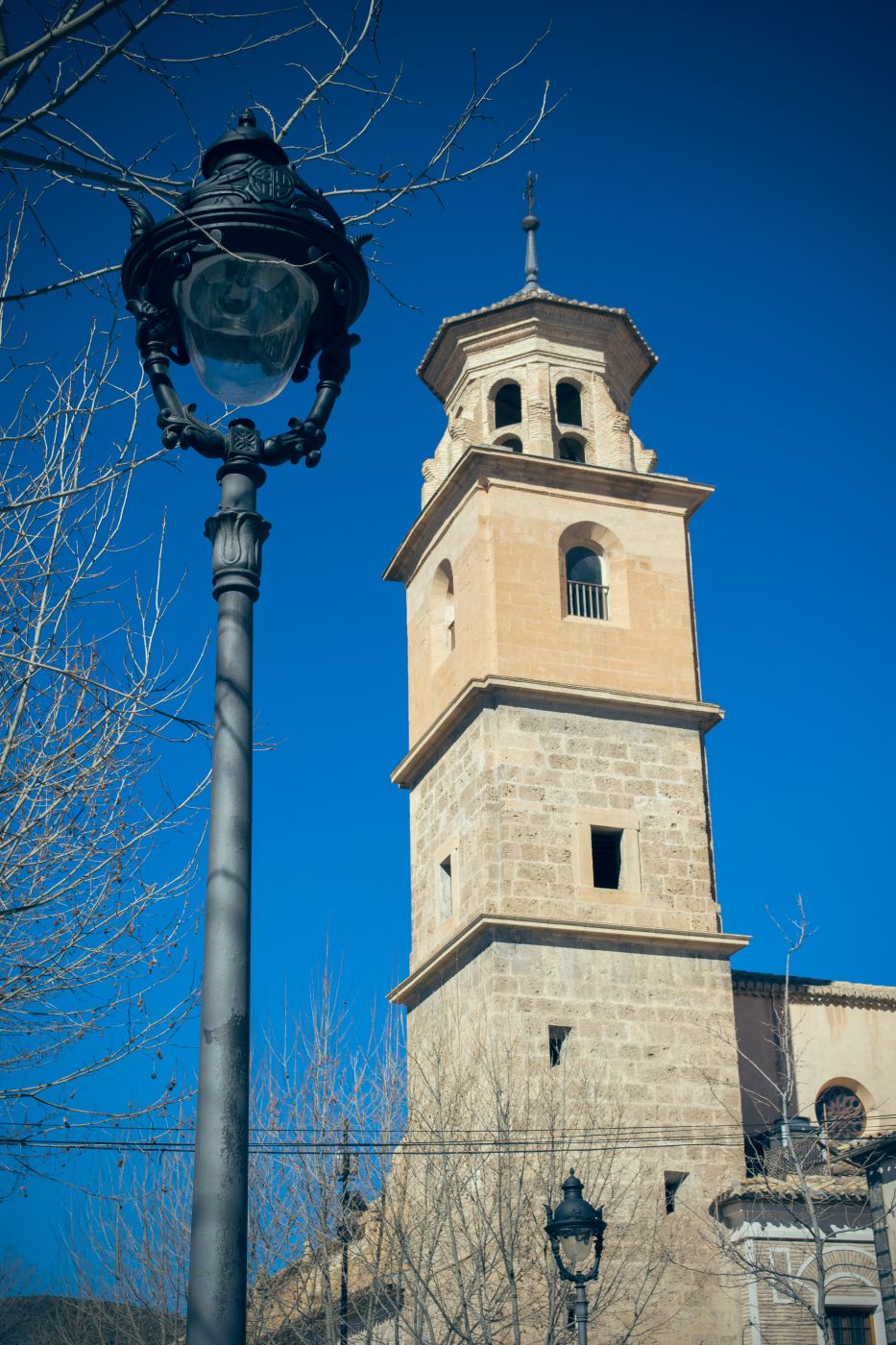 In the Spain of the XVI century, it was common to build a great temple of ashlar and Renaissance style at the same time it was built another kind of construction made with poorer materials. It was called mudejar or Moorish style, made with humble materials like bricks or rammed earth, although ashlar was sometimes used for some parts. This is the case of the Parish Church of Nuestra Señora de la Concepcion, built in the same period that the Parish Church of El Salvador.
This building, started in 1532, rises over an old church of the Knights Hospitaller of Saint John, devoted to care for the sick and dying person and bury the dead.
The hospital was demolished after the nursing home facilities were built.
The restrained and austere looking church combines Muslim elements with Renaissance style, which was being set in Caravaca at the beginning of the XVI century. Rationality and economy was searched in this building, giving more importance to the creation of an organic space than to light and orientation.
It has sole forty metres length nave by twenty-three metres wide. Two symmetric chapels work as a transept, the Knights Hospitaller of Saint John chapel on the left and another with less architectural interest on the right, by which the church service facilities can be reached.
 The ceilings are of particular note- we have to differentiate the one in the presbytery from the one that covers the main nave. In the presbytery, the ribbed vault with tiercerons traditionally gothic covers the ceiling and the main nave is covered by an impressive wooden coffering (mudejar typical material). It is divided in three sections, each one of them with a different ornamentation, which make them a unique work among other mudejar buildings.
The coffering had a pictorial decoration done that does not block the wood colour. The colours still keep their light and liveliness. This work is of the first third of the XVI century with jointed rafters, held by round arches.
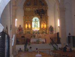
In the central vaulted niche, the high altar reredos of La Inmaculada Concepcion, saint of the church, by Francisco Fernandez Cano made in 1792 is remarkable.
The tower was built in the XVII century at the head of the church and it has four bodies.
Geographical coordinates: Latitude 38.105352 Length -1.864688
-
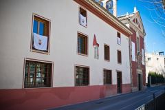
Convent and church of San Jose
-
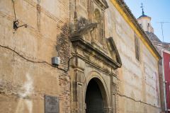
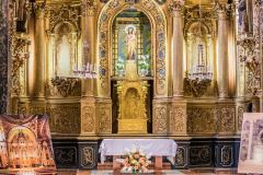
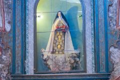
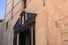
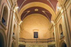
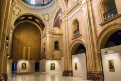
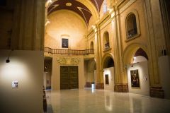
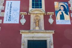
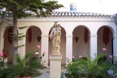
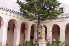
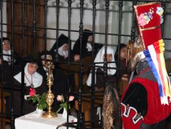
The Mothers Barefoot Carmelites Convent was founded by order of St. Teresa de Jesus and the church of San Jose, beautiful sample of baroque-rococo style, is located inside it.
To celebrate the fifth centenary of the birth of Santa Teresa (October 15th 2014- October 15th 2015), guided visits were offered where visitants could know a cloister space since unique rooms of this monument were reproduced.
It is closed at the moment.
Geographical coordinates: Latitude 38.106806 Length -1.861056
-
Convent and Church of Compañia de Jesus
-
It was founded by Miguel de Reyna. The first friars of the order arrived to Caravaca in 1570 and stayed in a small building that was constructed where the former San Bartolome Hermitage was. Shortly, they started to look for a more appropriate new location given the unsuitability of the place.
Thanks to private donations, the new works began in 1592 where the current convent of La Compañia is, moving in the friars in 1595.
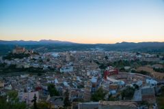
The construction of the new Jesuit school was completed in 1614, being this likely the largest surface building constructed in the city. This is a wide architectural ensemble whose dimensions we can enjoy nowadays in a panoramic view from the Vera Cruz Sanctuary-Castle. As it was founded as a school, it had a church, cloister and many rooms for students and teachers.
The church that was founded in 1734 follows the model of Jesuit architecture, with its floor plan of a single nave and connecting side chapels. Its dome has a lantern complete with illuminated opening and concludes with decorated shells. The main reredos of this church was made by Jose Saez and nowadays is placed in the main chapel of El Salvador church.
After the Jesuits expulsion from Spain by King Charles III, a Royal Provision of August 12th of 1768 orders to suspend the activities of the Jesuits School of Caravaca. After Mendizabal expropriation, the building was privately owned. It is currently a local government building that, after restoration, works as a cultural centre.
Geographical coordinates: Latitude 38.10625 Length -1.861139
-
Convent of Nuestra Señora del Carmen
-
The license to found in Caravaca a Barefoot Carmelites convent was granted in 1586. Firstly, it was set up in a small house placed nearby the Parish Church of La Concepcion and today is still preserved. San Juan de la Cruz used to stay in it the seven times he visited our city. A few months later, the current convent was found on March 1587 near that first building, granted by Philip II and Saint John of the Cross itself was in its relocation according to Libro del Becerro (book) of the Barefoot Carmelites Caravaca community.
The building was finished during the middle of the XVII century, yet the works in the new church ended before in 1635.
During the first decades of the XVIII century the convent was expanded widely because of the newly inaugurated Santa Ana Carmelite novitiate creation in Caravaca, head in the region. The construction of Santa Ana chapel began later that remained unfinished until the beginning of 2006, year in which a part of the convent was adapted to convent guesthouse.
As said above, a section of the convent is today a guesthouse that will delighted every visitor because in its walls we find all the Carmelite history of Caravaca initiated by San Juan de la Cruz.
Opening hours: 10h30-14h. Mass: Monday to Saturday 10h, 19h30. Sundays: 10h, 12h, 19h30.
Geographical coordinates: Latitude 38.104528 Length -1.863417
-
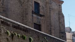
Church of Soledad-Archaeological Museum
-
This was the first parish church in the city, built inside the old walled fortress. It is known that from the end of the XV century there was a need for expanding the old parish church, a two naves work and gable roof, placed in the same spot where La Soledad Church is now.
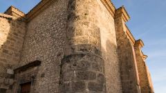
It is characterised by its sober Renaissance lines and is built over a masonry wall that is used as retaining wall for the terrace. The cylindrical prismatic buttresses that surround the church give a fortified look that reminds the medieval sense of the temple as fortress, specific of its gothic heritage.
The walls are made of masonry and they have two lintels doors, working as lintel a tombstone with a large Roman inscription found in the archaeological complex of Estrecho de la Encarnación in the XVI century.
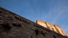
Today it is the home for the Archaeological Museum, in which tourists can satisfy their curiosity looking at the remnants of the oldest settlers of this area – the discovery of Cueva de los Alcores, of the Represa, etc. You will be amaze by the monumental Roman remains of La Encarnacion. You will admire the wide range of daily samples of the Iberian population and endless curiosities that explain why Caravaca is how it is nowadays.
Geographical coordinates: Latitude 38.107889 Length -1.860248
-
Monastery of Santa Clara
-
It shares its name with the street where is located, one of the most historical popular arteries of Caravaca.
In 1577, a group of devoted people made a petition to open a monastery of Santa Clara (St. Claire) in Caravaca, a royal provision was issued in 1582 asking for information about the location of this convent and the people likely to contribute to its establishment.
Given this situation, the formal approval to open the convent arrived four years later, but, for economic reasons, the works did not start until 1609 in the land handed.
Therefore, the Convent of Santa Clara was solemnly founded on 27 September 1609.
Some parts of the existing building were used so the current church is the once ceded hermitage, after adapting and joining other sections. Nevertheless, a comprehensive project of adaptation of the monastery and the church was not undertaken until the end of the XVII century and beginning of the next, given the limited resources typical in that century. The nuns raised the money from donations and inheritances that they received.
In 1718, the new church was open concurring with Saint Claire festivity, and a few years later an enlargement was made in the convent joining some close properties to it.
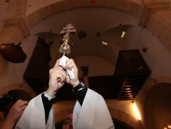
In the church’s dome, there is a small hole through which the Clara sisters drop thousands of rose petals on the morning of May 4th , when the Vera Cruz enters the church.
The current structure of the Claras monastery of Caravaca de la Cruz is basically the same that had during its construction in the baroque period, following the tenets of Franciscan religious houses.
Geographical coordinates: Latitude 38.1094878 Length -1.8634664
-
Hermitage of Santa Elena
-
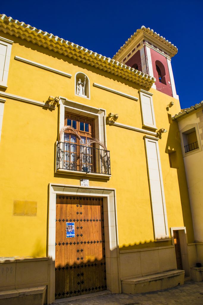 This is the single hermitage of Caravaca that still fulfils the aim for which was built: to offer religious service to people living in one of the most populous neighbourhoods of Caravaca. This is where the solemn “foot-kissing” ceremony takes place on the first Friday of March before the image of Our Father Jesus Nazareno.
Its construction possibly began on the first quarter of the XVII century, since there are references to it around 1632, and finished in the XVIII century after many expansions, giving it the appearance that has nowadays. One of these expansions was the construction of a niche that implied an urban modification and covered with a kind of tunnel Atienza Street on which the niche is.
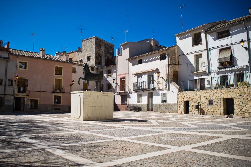
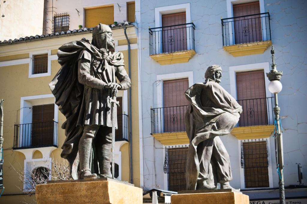
It is located next to the popular Caballos del Vino Square – commonly known as Plaza del Hoyo- where the monument to this horse tradition is.
Geographical coordinates: Latitude 38.1073356 Length -1.8659343
-
Hermitage of San Sebastian or Hermitage of the Saint (Del Santo)
-
 At the end of the XV century and beginning of the XVI century, it was common to build a hermitage or church to honour some saints and, according to tradition, this protected people from plagues and epidemics that were common in those times. In addition, these hermitages offer religious service in the neighbourhood where they were located.
This is the case of the Hermitage of San Sebastian or most commonly known Hermitage of the Saint (Hermita del Santo). Built at the beginning of the XVI century, oral traditions say that this hermitage was attached to the school of Compañia de Jesus, being this hermitage on charge of giving the religious service.
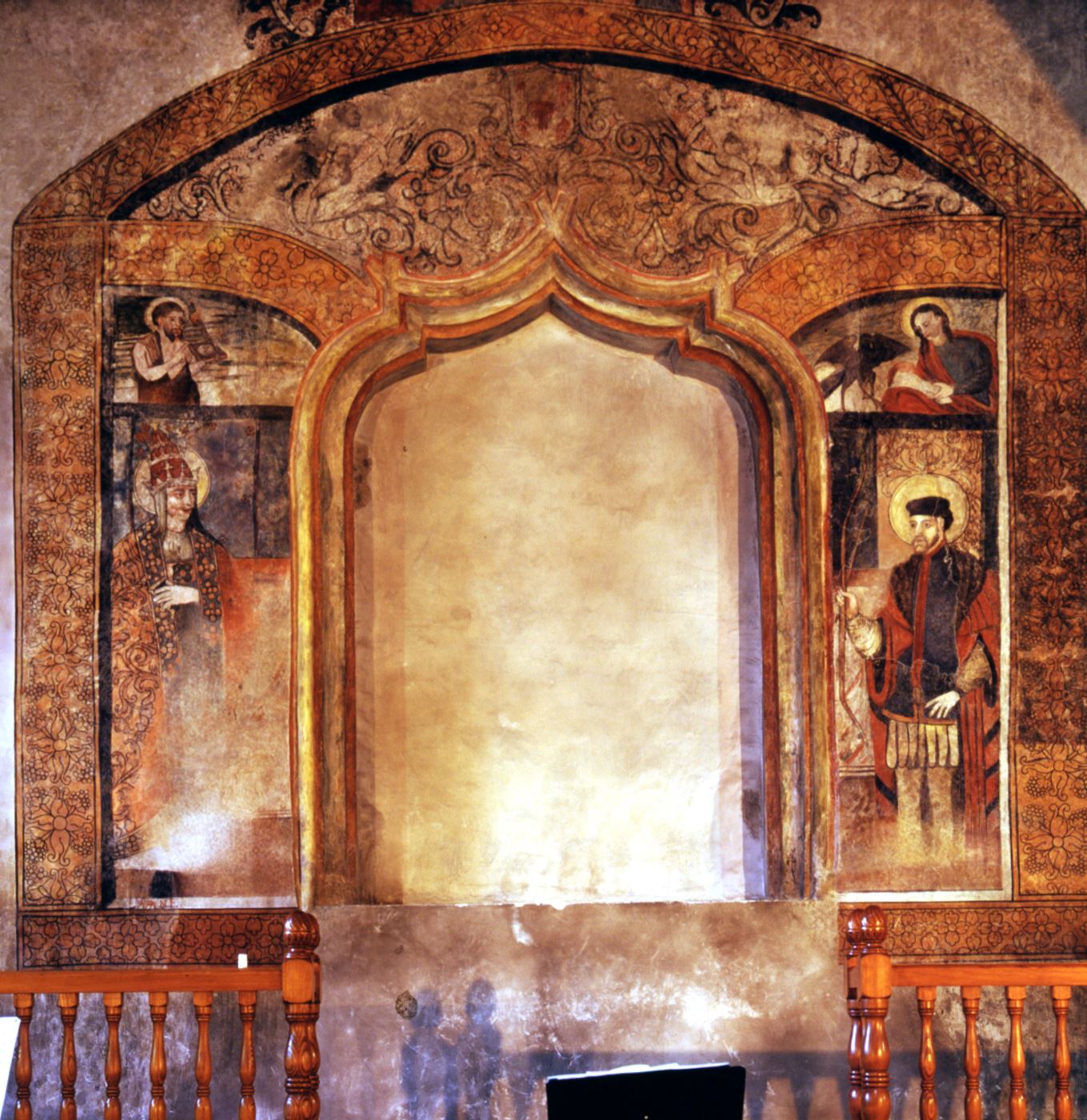
This hermitage, located in an area populated by humble hardworking people, used basic materials such as limestone mortar – from the ancient tradition of Arabic mud walls- and wood roof. It has a single nave with rectangular floor and a gabled wood-framed roof that rests on three pointed diaphragm arches. It also has a presbytery and upper choir stalls remaining the church divided into three planes. Inside we can find the exceptional late-Gothic wall paintings altarpiece, making an exceptional unique example in the Region of Murcia of a great artistic work thanks to its proportions and shape.
Nowadays the Town Council owns this building where the local band “Caravaca de la Cruz” has its headquarters.
Geographical coordinates: Latitude 38.106481 Length -1.861775
-
Torreon de los Templarios
-
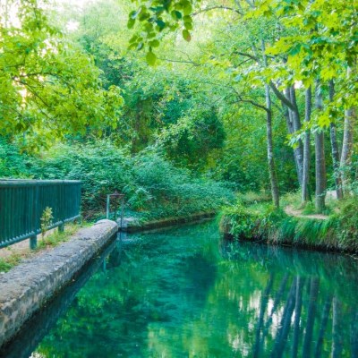
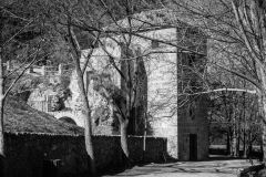
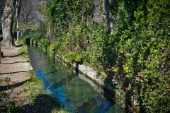
The so-called Torre de los Templarios (Templar Tower) is located in the well-know natural spot Fuentes del Marques, 2 km away from the city centre of Caravaca. This is a place very popular among tourists and locals that appreciate such beautiful scenery with great natural wealth, rich forest area and crystal clear water canals.
A paved road provides access from Caravaca to this tower and an exceptional environment. Once there, visitants have available spacious car parks as well as several spaces focused on catering to enjoy their trip. In addition, entrance to the tower is available nowadays due to the Nature Interpretation Centre placement inside.
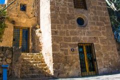
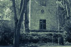
The origins of this building are a bit unclear and we have to go back to the XVI and XVII centuries, when possibly the current tower was built over an older one. Its modern name was perhaps given because of the Knights Templar nineteenth-century remembrance, order established in Caravaca by the Crown of Castile during the first years of the Reconquista. According to Navarro Suarez, the present construction could be associated with stately rural production exploiting these amazing water resources.
This is a quadrangular-based floor building of ample proportions and has a unique oculus over the door. Its walls made of perfectly dressed stone and big hollows indicate the nonexistent military purpose.
The Torre de los Templarios was declared building of Cultural Interest Second by the Additional Provision to Law 16/1985 of June 25 of the Spanish Historical Heritage.
Geographical coordinates: Latitude 38.102132 Length -1.879179
-
Hermitage of La Reja
-
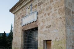
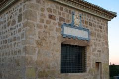
In the bush commonly known in Caravaca de la Cruz as El Calvario, north of the Castle-Sanctuary, was built the Hermitage of La Reja in the XVII century. This is the single preserved hermitage of the fourteen that formed the Stations of the Cross.
Francisco [Muso] Muñoz de Otalora, Mayor of Caravaca, and Catalina Lopez, his wife, founded this hermitage. It was built in 1617 as stated its inscription on the lintel. Ashlar was used for its construction; it is located in a considerable extent of land and covered by a limestone vault.
It has a rectangular plan and is covered with a hipped roof whose hinges rest on a large cornice. Its name comes from the great decorative wrought iron grill that covers the unique window of the building. There is a solid single altar table inside.
It is located in an extraordinary spot because of the panoramic view of the city as well as the mountain area that is one of attractions of Caravaca de la Cruz.
Geographical coordinates: Latitude 38.113876 Length -1.860378
-
Town Hall
-
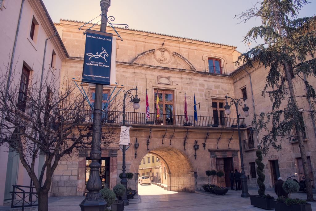
The construction of this Baroque building was ordered in 1737, but the works did not start until two years later and it was built by Antonio del Campo, Pedro Briz and Miguel Molinero, master builders from Caravaca, although these last two abandoned the project later. We know exactly that the first body, most part of the prison and the arc were made by Antonio del Campo, who finished the works on February 1746.
Thus, they agreed to continue the works following Jaime Bort’s new drawings, in which later the original design of the Clock Tower (Torre del Reloj) will be cut out. Modifications to the original drawings were made by Carmelite Brother Juan de Santa Teresa and Juan Garcia Galan.
Finaly, the main works finished in 1762 and the Council Hall, located on the square’s arch, was opened on January 3rd 1763. On the left, the almudi – a grain exchange storehouse - and the military headquarters were built over a crumbling building on the ground floor and the upper floor respectively in 1807. In 1856, permission was given to join the chapterhouse with the upper floor rooms, where today are the municipal offices. The almudi worked as such until the Spanish Civil War, when it became municipal offices, to date.
This building welcomed visitors to Caravaca when they passed Puentecilla Street from the Calasparra old road, being the main entrance to the city in the XVIII century.
Geographical coordinates: Latitude 38.107374 Length -1.860153
-
The Bullring
-
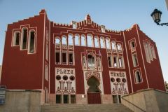
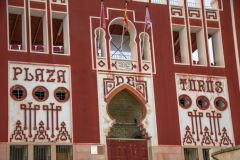
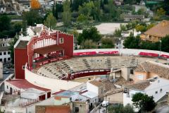
The Bullring was built on the site of the old Franciscanos convent of Santa Maria de Gracia in the second half of the XIX century, once it was abandoned by the friars after the Mendizabal expropriation.
It opened on September the 28th of 1880 at the same time the Feria was held, and it suffered several changes later on time. In 1926 it was remodelled adding more space and its striking neo-Mudejar front.
Between 1995 and 1999, the building was restored.
Geographical coordinates: Latitude 38.111696 Length -1.861223


